 Spain
Spain Country Snapshot: Geography
Location
Southwestern Europe, bordering the Mediterranean Sea, North Atlantic Ocean, Bay of Biscay, and Pyrenees Mountains; southwest of France
Geographic Coordinates
40 00 N, 4 00 W
Map References
Europe
Area
Total: 505,370 sq km
Land: 498,980 sq km
Water: 6,390 sq km
Note: There are two autonomous cities—Ceuta and Melilla—and 17 autonomous communities including Balearic Islands and Canary Islands, and three small Spanish possessions off the coast of Morocco—Islas Chafarinas, Penon de Alhucemas, and Penon de Velez de la Gomera
Country Comparison to the World: 53
Area Comparative: Almost five times the size of Kentucky; slightly more than twice the size of Oregon
Land Boundaries
Total: 1,952.7 km
Border countries (6): Andorra 63 km, France 646 km, Gibraltar 1.2 km, Portugal 1224 km, Morocco (Ceuta) 8 km, Morocco (Melilla) 10.5 km
Note: an additional 75-meter border segment exists between Morocco and the Spanish exclave of Penon de Velez de la Gomera
Coastline: 4,964 km
Maritime Claims
Territorial sea: 12 nm
Exclusive economic zone: 200 nm (applies only to the Atlantic Ocean)
Contiguous zone: 24 nm
Climate
Temperate; clear, hot summers in interior, more moderate and cloudy along coast; cloudy, cold winters in interior, partly cloudy and cool along coast
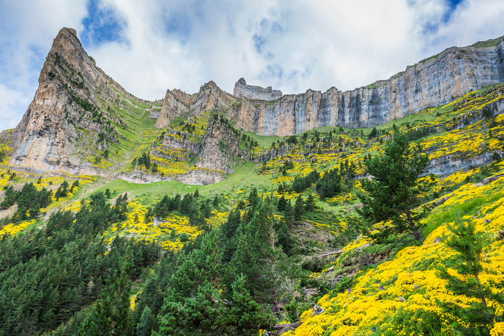
Terrain
Large, flat to dissected plateau surrounded by rugged hills; Pyrenees Mountains in north
Elevation
Mean elevation: 660 m
Lowest point: Atlantic Ocean 0 m
Highest point: Pico de Teide (Tenerife) on Canary Islands 3,718 m
Natural Resources
Coal, lignite, iron ore, copper, lead, zinc, uranium, tungsten, mercury, pyrites, magnesite, fluorspar, gypsum, sepiolite, kaolin, potash, hydropower, arable land
Land Use
Agricultural land: 54.1% (2011 est.)
Arable land: 24.9% (2011 est.)
Permanent crops: 9.1% (2011 est.)
Permanent pasture: 20.1% (2011 est.)
Forest: 36.8% (2011 est.)
Other: 9.1% (2011 est.)
Irrigated land: 38,000 sq km (2012)
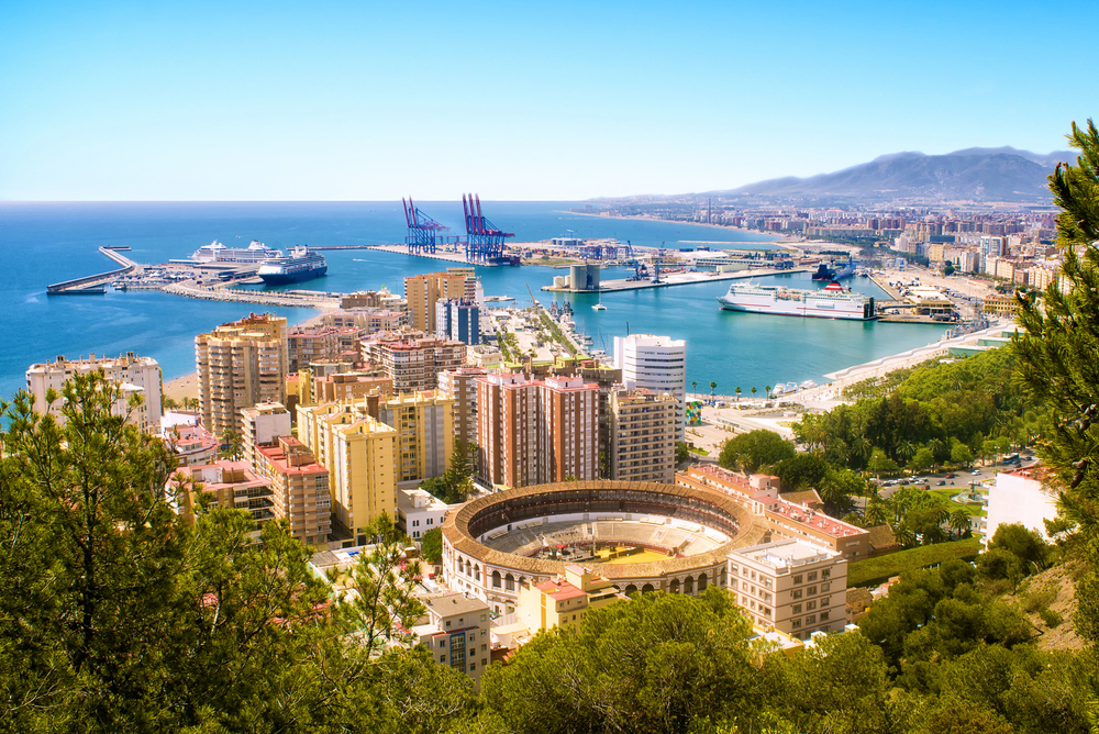
Population Distribution
With the notable exception of Madrid, Sevilla, and Zaragoza, the largest urban agglomerations are found along the Mediterranean and Atlantic coasts; numerous smaller cities are spread throughout the interior reflecting Spain's agrarian heritage; dense settlement is found around the capital of Madrid, as well as the port city of Barcelona
Natural Hazards
Periodic droughts, occasional flooding
Volcanism: volcanic activity in the Canary Islands, located off Africa's northwest coast; Teide (3,715 m) has been deemed a Decade Volcano by the International Association of Volcanology and Chemistry of the Earth's Interior, worthy of study due to its explosive history and close proximity to human populations; La Palma (2,426 m), which last erupted in 1971, is the most active of the Canary Islands volcanoes; Lanzarote is the only other historically active volcano
Current Environmental Issues
Pollution of the Mediterranean Sea from raw sewage and effluents from the offshore production of oil and gas; water quality and quantity nationwide; air pollution; deforestation; desertification
Notes
- Strategic location along approaches to Strait of Gibraltar;
- Spain controls a number of territories in northern Morocco including the enclaves of Ceuta and Melilla, and the islands of Penon de Velez de la Gomera, Penon de Alhucemas, and Islas Chafarinas
Article written for World Trade Press by CIA Factbook, Current as of 5 May, 2021.
Copyright © 1993—2024 World Trade Press. All rights reserved.