 Spain
Spain History: Antique Maps
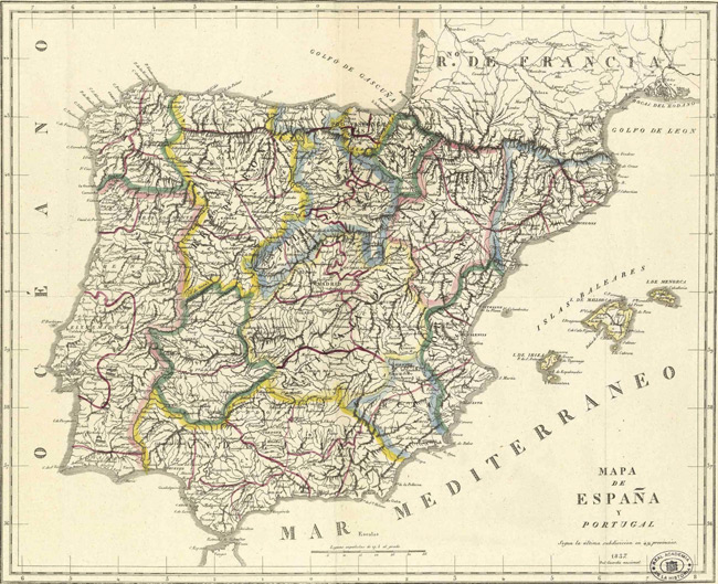
- Title: 1837 Map of Spain
- Download: High-Res pdf
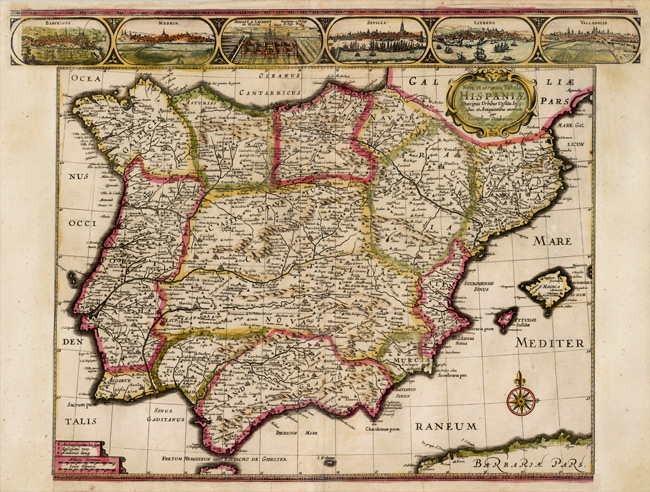
- Title: 1640 Map of Nova et accurata Tabula Hispania
- Description: Rare separately issued map of the Iberian Peninsula, published in Amsterdam by Cornelis Danckerts in 1640. Includes views of Barcelona, Madrid, Escorial Palace, Sevilla, Lisbone and Valladolid. Rarely seen map, in early English Color. Side panels trimmed for binding.
- Publisher: Cornelis Danckerts
- Download: High-Res pdf
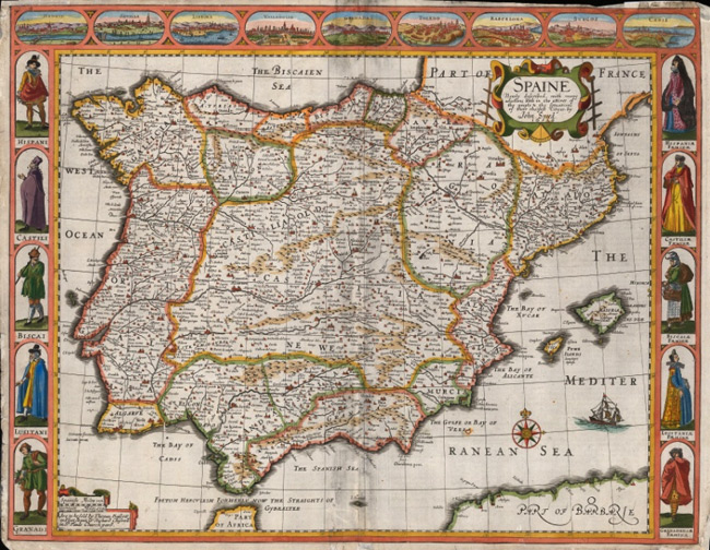
- Title: 1676 Map of Spaine
- Description: Wonderfully decorative map of Spain and Portugal with figurative border panels. English text on verso. Coloured.
- Publisher: John Speed
- Download: High-Res pdf
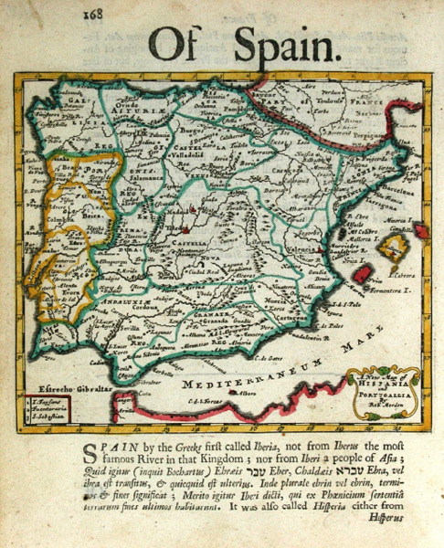
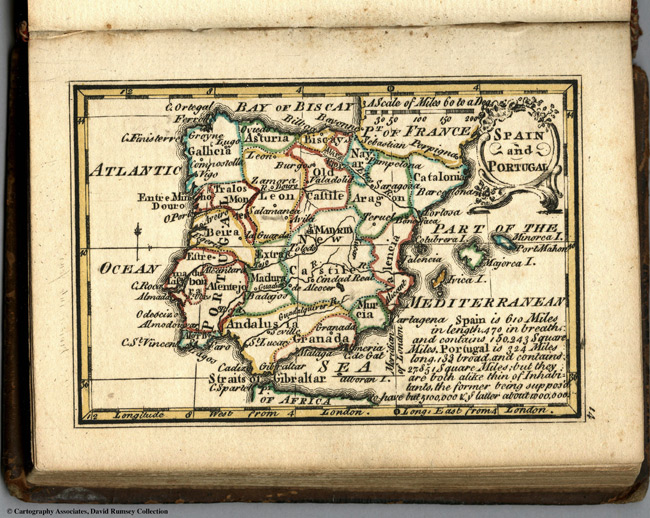
- Title: 1688 Map of Hispania and Portugallia
- Description: A detailed miniature map with panel of text. Coloured.
- Publisher: Robert Morden
- Download: High-Res pdf
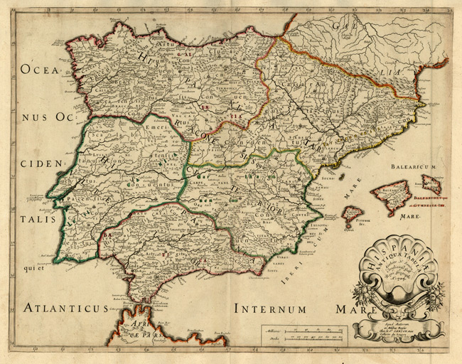
- Title: 1704 Map of Hispaniae Antiquae Tabula
- Description: Detailed map of the Iberian Peninsula, showing Geographical details from ancient times.
- Publisher: Nicholas Sanson
- Download: High-Res pdf
- Title: 1758 Map of Spain And Portugal
- Description: This page includes Outline color map of the world and text. First edition. The \"Historical Extracts\" are short bits of text printed on the maps giving relevant geographical information.
- Publisher: J. Newberry
- Download: High-Res pdf
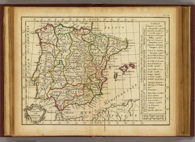
- Title: 1800 Map of Espagne, Portugal
- Description: Engraved map. Outline hand coloring. Relief shown pictorially.
- Publisher: C.F. Delamarche
- Download: High-Res pdf
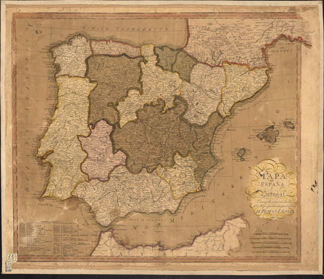
- Title: 1804 Map of Spain and Portugal
- Publisher: D. Tomas Lopez
- Download: High-Res pdf
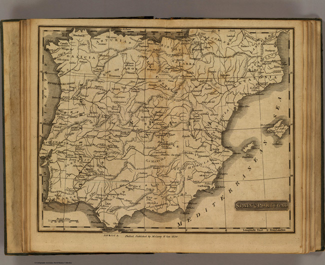
- Title: 1825 Map of Spain, Portugal
- Description: Engraved map. Relief shown pictorially.
- Publisher: Carey & Lea
- Download: High-Res pdf
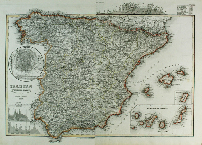
- Title: 1847 Map of Spanian
- Description: Spain. Insets of Madrid, the Canaries and Fernando Po Island. Map on two sheets joined. Original colour.
- Publisher: Joseph Meyer
- Download: High-Res pdf
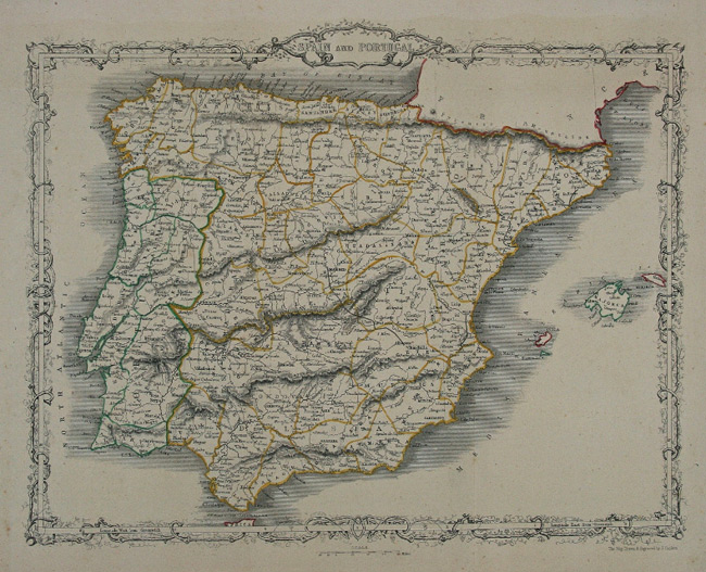
- Title: c. 1850 Map of Spain and Portugal
- Description: A coloured map of Spain and Portugal embellished with an elaborate border.
- Publisher: John Rapkin
- Download: High-Res pdf
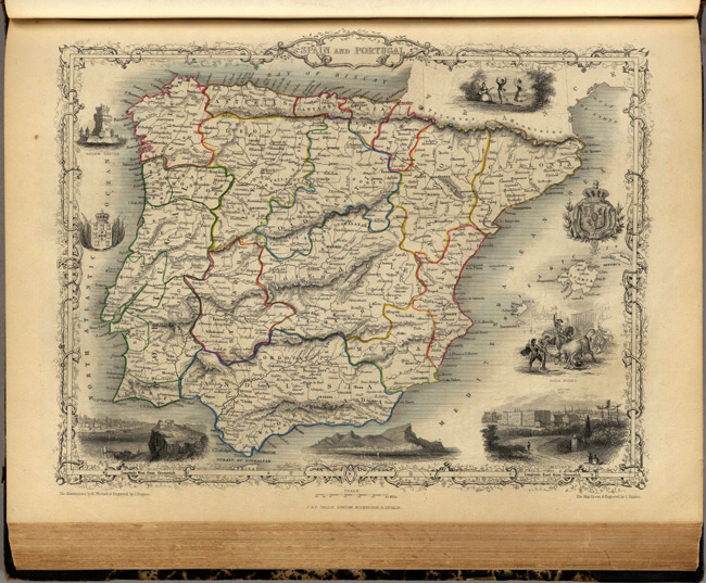
- Title: 1851 Map of Spain and Portugal
- Description: In outline color by region and including drawings of places (Lisbon, Madrid) and events (bull fighting and dancing). Decorative border surrounds the map.
- Publisher: J. & F. Tallis
- Download: High-Res pdf
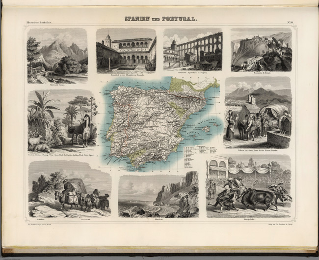
- Title: 1863 Map of Spanien und Portugal
- Description: Lavishly illustrated around margins of map with high quality vignettes of animals, structures and people. Relief shown in hachures.
- Publisher: F.A. Brockhaus
- Download: High-Res pdf
Copyright © 1993—2024 World Trade Press. All rights reserved.